What is Airports GIS?
To understand what Airports GIS is, you must first understand that a geographic information system (GIS) is a system that creates, manages, analyzes, and maps all types of data.
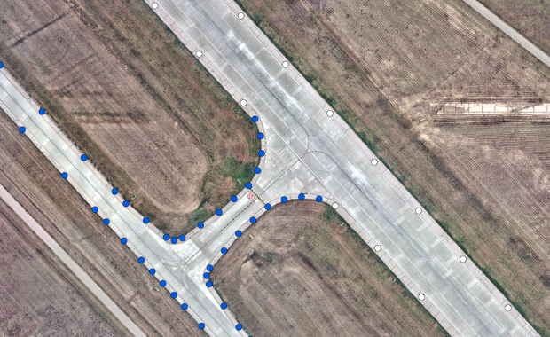
At an airport, GIS connects data to a map and integrates location data with all types of related information. This provides a groundwork for mapping and analysis that is used to understand patterns, relationships, and geographic context. GIS allows for improved communications and efficiency as well as better decision making and management.
Getting Started
Filler Text
GIS at the Airport
Filler Text