Construction Project Management
Overview
Geographic Information Systems (GIS) play a vital role in managing multi-phase airport construction projects, such as runway rehabilitation and terminal expansion. By spatially mapping each phase of development, GIS helps airports accurately define operational zones, safety buffers, and access routes, ensuring safe and efficient project execution.
GIS supports proper construction sequencing, preventing conflicts between work zones and improving coordination among stakeholders. This geospatial approach reduces operational disruptions, enhances safety compliance, and enables faster, data-driven decision-making for airport planners and project managers.
Features
Phased Project Planning
Site Selection and Analysis
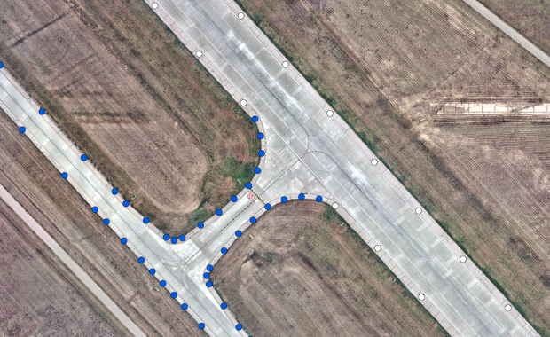
GIS helps identify optimal construction locations on or near the airfield by analyzing proximity to existing infrastructure such as runways, taxiways, utilities, and access roads.
Phased Project Planning
Supports sequencing multi-phase construction activities taking into account temporary facilities, detours, and operational continuity.
Resource Tracking
Monitor equipment, materials, and workforce deployment across large sites.
Progress Monitoring
Enables real-time updates and visual tracking of construction milestones.
Benefits
Spatial Visualization
Real-time mapping of construction zones, utilities, access routes, and environmental constraints.
Data Integration
Combines geospatial data with schedules, budgets, and resource plans, and centralizes information from contractors, engineers, and stakeholders.
Cost Control
GIS enhances coordination and planning by providing spatial insights that help avoid conflicts with existing infrastructure, reduce rework, and minimize delays—ultimately lowering construction costs and improving project efficiency.
Post Construction Asset Management
Creates a digital record of built infrastructure for future maintenance and upgrades.
Use Cases
Runway Rehabilitation and Reconstruction
Visualize and manage phased runway closures and construction zones while maintaining operational continuity such as planning nighttime rehabilitation phases to minimize disruption to daytime flight schedules, mapping temporary taxiway reroutes, and identifying staging areas for equipment.
Utility Relocation and Mapping
GIS consolidates data for underground and above-ground utilities—water, sewer, electrical, fuel, communications—into a single spatial platform. This helps visualize utility networks in relation to runways, taxiways, terminals, and other airport facilities.
Environmental Impact Mitigation
Identify and map environmentally sensitive areas—such as wetlands, wildlife habitats, and protected lands—within and around airport boundaries. By pinpointing features like nesting sites of protected bird species before construction begins, GIS helps planners avoid or minimize ecological disruption during runway extensions or other development activities.
Smart Construction Sequencing
GIS helps identify task dependencies and prevent conflicts between overlapping activities—such as ensuring apron construction does not disrupt aircraft parking or fueling operations—by providing spatial visibility and timeline alignment across all project phases.
Examples


-

- Empty airport terminal lounge with airplane on background. 3d illustration