Part 139 Inspections
Overview
Airports use GIS technology to streamline daily FAA Part 139 inspections by enabling mobile, real-time documentation of critical airfield assets such as navigation aids, lighting systems, signs, and pavement markings. With GIS-enabled tools, operations personnel can geotag Foreign Object Debris (FOD) and pavement damage, synchronize field observations with centralized dashboards, and generate inspection logs that meet FAA audit requirements.
Through spatial analytics and historical data tracking, GIS helps airports identify recurring issues, prioritize maintenance, and support airfield safety and regulatory compliance. This geospatial approach enhances operational awareness, improves inspection accuracy, and supports proactive decision-making.
Features
Benefits
Use Cases
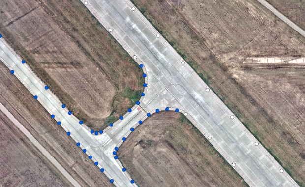
Examples


-

- Empty airport terminal lounge with airplane on background. 3d illustration